Mount Howard and Mount Mastiff
9/14/2026
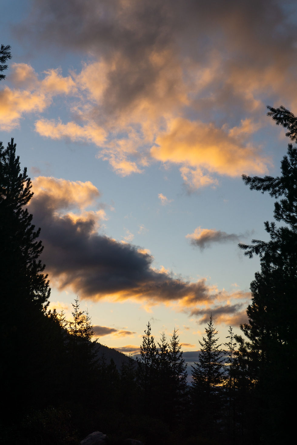
This was a quick fall color trip that turned out to be more challenging than expected. I got an early start from the empty Merrit Lake trailhead (I didn’t find the road to be as bad as others have alluded to) and quickly made my way up to the turnoff to Nason Ridge – about 2.6 miles.
Climbing up and over the ridge was also no problem, but as soon as the trail started to drop off the ridgeline and contour on the south side at about 5300’, I knew I was in trouble. Maybe I was being a wimp, but I thought that this zone was an unmitigated blowdown disaster. Huge logs littered the trail from the previous winter’s storms, and to make matters worse, it had rained the night before, so everything was wet.
My pace slowed significantly through here, and I even thought of accepting defeat, bagging the whole trip, and going back toward Stevens Pass to find an easier consolation outing. I think the sunk-cost fallacy got me in the end, because I eventually decided to soldier on and ensure that all my struggles were worth something.


After enduring a bit more of wet blowdown hell, things eventually got quite a bit better after crossing Royal Creek. From that point on I was able to make much quicker progress through some nice areas of fall color on my way to Crescent Lake. The lake was pretty, but the weather was overcast with low clouds (despite a mostly sunny forecast), and it was a bit windy, so I didn’t linger for long.


Beyond the lake, I encountered my next challenge of the day. Remember how I said there had been significant rain in the mountains the day before? Well, now I had to make my way off trail through grassy meadows that were absolutely saturated with water. It seemed like there were fat water droplets clinging to every single bit of vegetation on the mountainside. My shoes were instantly soaked, and I just chose to embrace it. I was in too deep at this point.
I think my initial route-finding was sub-optimal, because I quickly found myself traversing the slope to find a way through a band of brush. I settled upon the route that looked least wet but still ended up thrashing about and getting soaked for a few yards before popping out on the other side. Above this I was done with brush, and it was just class 2 slogging to reach the summit of Howard. I was in a dense gray cloud, but I’m sure there would have been some good views from the summit.

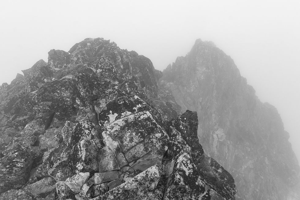
Instead of reversing course and enduring the Nason Ridge blowdowns again, I thought it would be nice to add on one more summit for the day. I had a feeling the climber’s path for Mount Mastiff would be a much more pleasant exit route for me, plus it’s always fun to tag more than one summit in one day!
I quickly departed Howard and began the scramble toward Mastiff. Immediately the moves became more engaging, and there was one area that seemingly forced me into a tricky downclimb. Something didn’t feel right, and after checking the map I realized I was starting down the wrong ridge! It’s amazing how being in a pea soup cloud can confound one’s sense of direction. I righted my wrong and was soon on the correct path to Mastiff.

This ridge was broad and very easy, and I made great time down to the Howard- Mastiff saddle. The climb up Mastiff was also straightforward, except for a few moments as I gingerly tried to press my way through some more sopping wet vegetation.
The summit of Mastiff was broad and gentle, and I got some of my only glimpses of blue sky above me on top. There was a nice day out there somewhere, but I was in a cloud for almost all of it.

There was an easy-to-follow climber’s path that led off Mastiff to about 6000’, where things got a little more interesting. The route dropped off the ridgeline to the northeast side, and some scrambling and care was necessary to traverse the slope above Lost Lake. Once this section was dispatched, the climber’s trail on the ridge resumed, with an occasional small blowdown every now and then – a far cry from what I had experienced earlier in the day. I was very happy to have returned to my car this way.


I rejoined the main trail and cruised back down to the trailhead, seeing a few other day hikers on my way, and appreciating the nice fall colors as I went.
12.3 miles / 4919 feet of gain


Comments