Grays Peak, CO
- Jun 26, 2025
- 2 min read
Updated: Feb 1
6/26/2025
As part of our acclimatization preparation for Gannett Peak, my dad and I snuck in a quick hike up Grays Peak in Colorado. We camped at Lowry Campground near Silverthorne the night before and woke up early to make the drive east on I-70 to the Grays Peak trailhead. The trailhead is less than three miles from the freeway exit, but is pretty steep and rocky in places, so a high-clearance vehicle is recommended.
We got started at around 5:30 am, which seemed like a prudent start time with there being a slight chance of thunderstorms developing in the afternoon. The trailhead was situated over 11,200 feet in elevation, which was pretty difficult for my coastal brain to comprehend. It really proves that elevation is completely relative. Despite being at a higher elevation than the summit of Mount Baker, we were in a valley below tree line.


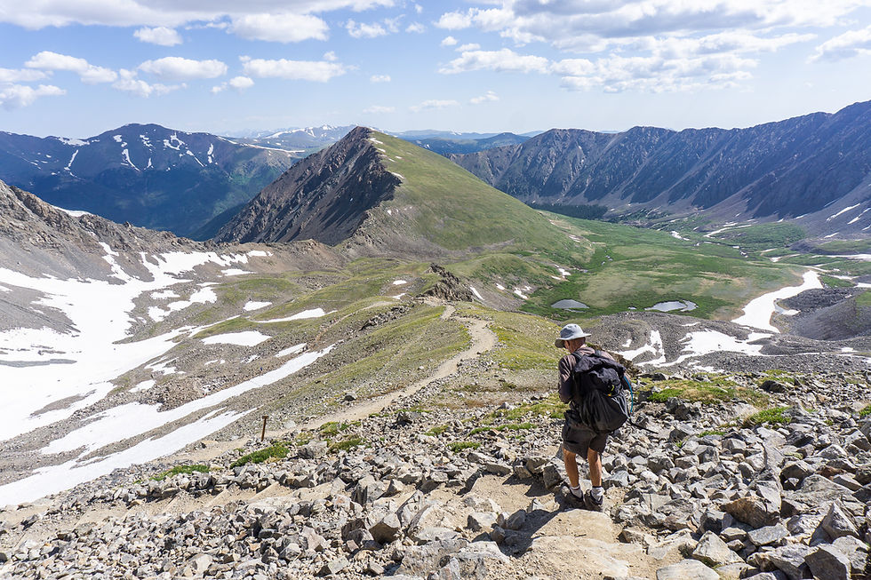
The Grays Peak trail was wide and gradual to start off, and we were treated to some nice alpenglow hitting Grays and its surrounding ridges. We climbed above tree line into nice meadows with yellow flowers before entering rockier terrain as we started to switchback up to the summit. Even above 14,000 feet, the trail was wide and easy to follow, and there was a well-constructed retaining wall near the summit. This was a very civilized experience compared to some of my Bulger trips in the Cascades. Regardless, the views were nice, and it felt great to get out and test ourselves at altitude. My dad experienced a bit of light-headedness, so we decided to save a traverse over to Torreys Peak for next time, but overall we were very happy to have gotten to an elevation significantly above the summit of Gannett. Plus, it was nice to check off my second CO 14er!


Final Stats: 7.7 miles / 3032 feet of ascent


Comments